Log in
All resources
Create a design
212 Free Artworks of Old Maps Of Landes
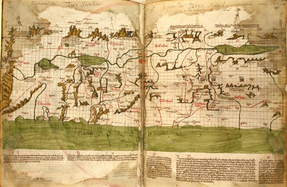
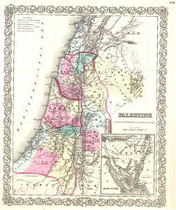
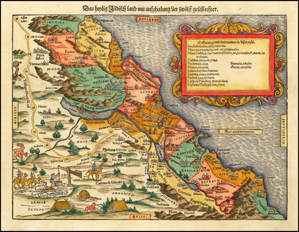
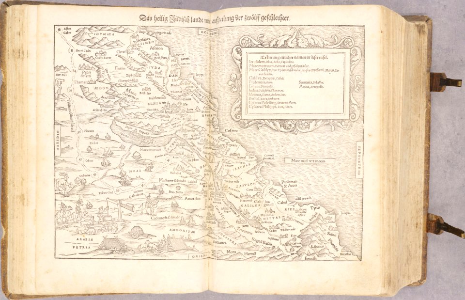
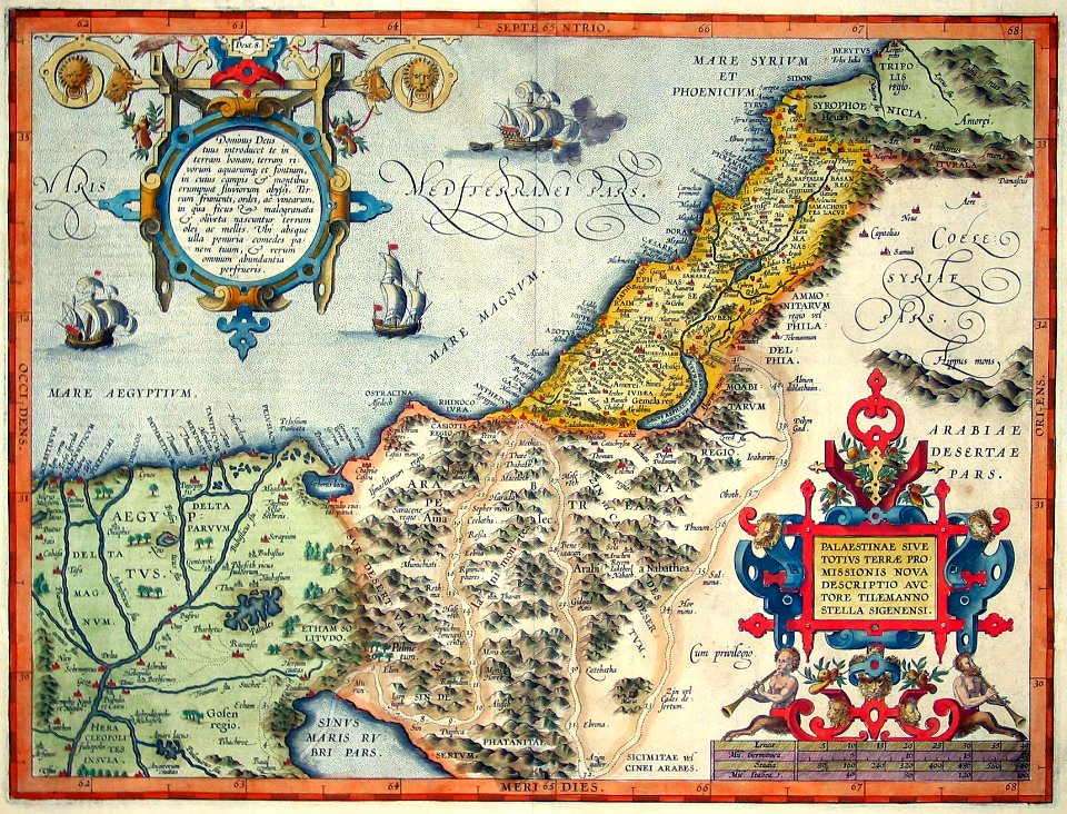
old maps of the holy land
vintage maps
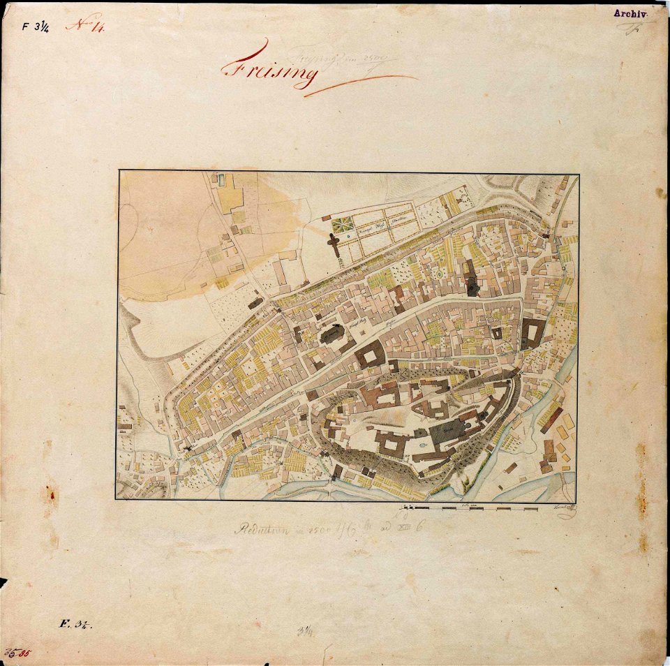
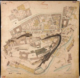
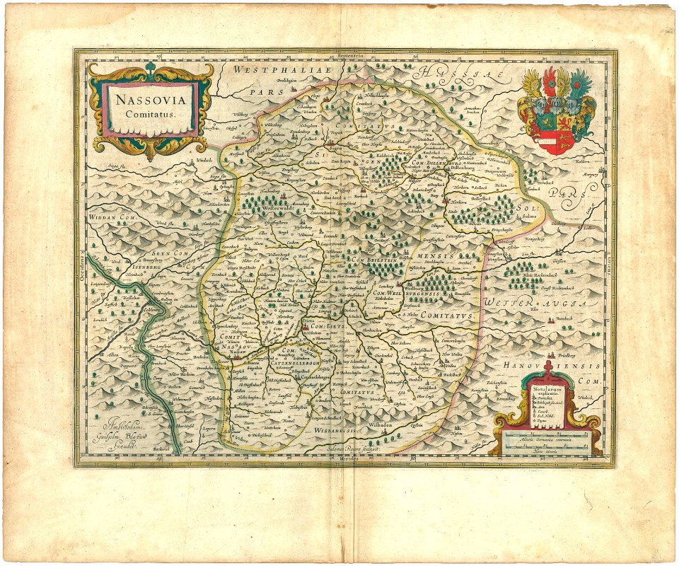
maps by royal bavarian land tax commission
old maps of freising
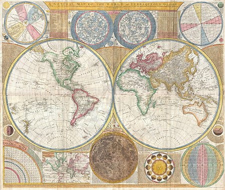
world map
latin-language maps
ships on maps
maps antique
maps in the library of congress
dutch-language maps
third voyage of willem barentsz
history of dutch sea fisheries
west-indische compagnie
image restoration
old maps of spitsbergen
old maps of the arctic
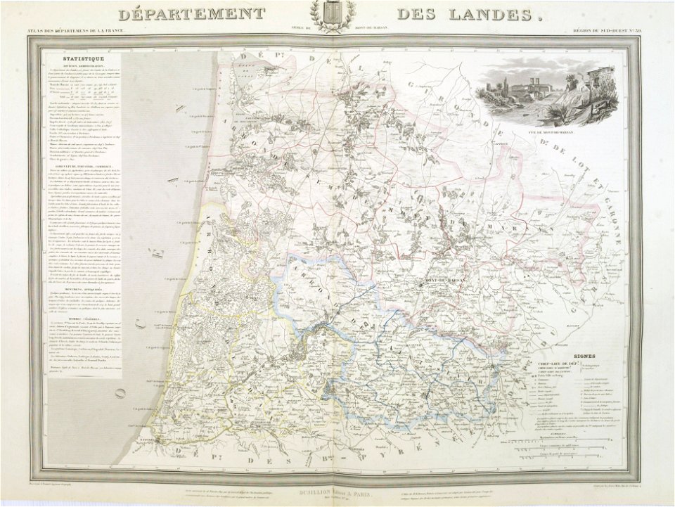
old maps of landes
1841 maps
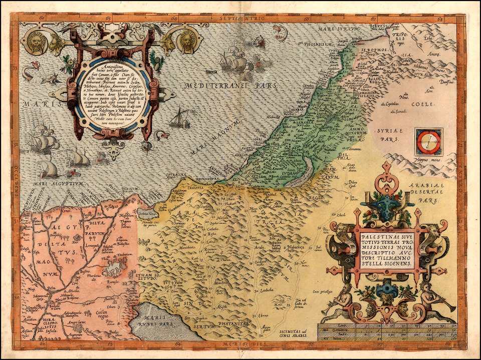
holy land
israelite
cartography
maps
maps by royal bavarian land tax commission
old maps of freising
fonds ancely - bibliothèque municipale de toulouse - maps
saint vincent de paul
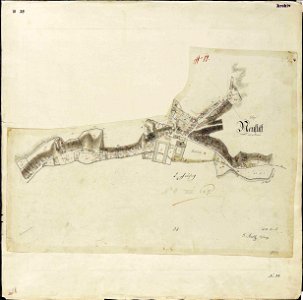
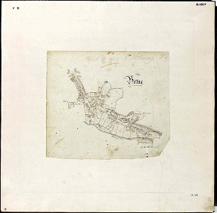
maps by royal bavarian land tax commission
old maps of freising
maps by royal bavarian land tax commission
old maps of freising
maps by royal bavarian land tax commission
old maps of freising
16th-century maps of slovenia
old maps of croatia
maps by royal bavarian land tax commission
old maps of freising
maps by royal bavarian land tax commission
old maps of freising
old maps of asia
1855 maps
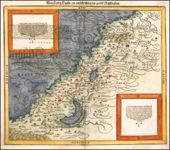
maps by sebastian münster
german-language maps
maps by sebastian münster
old maps of the holy land
printing
maps
latin-language maps
ships on maps
vintage
maps
vintage
maps
old maps of the holy land
old maps of palestine
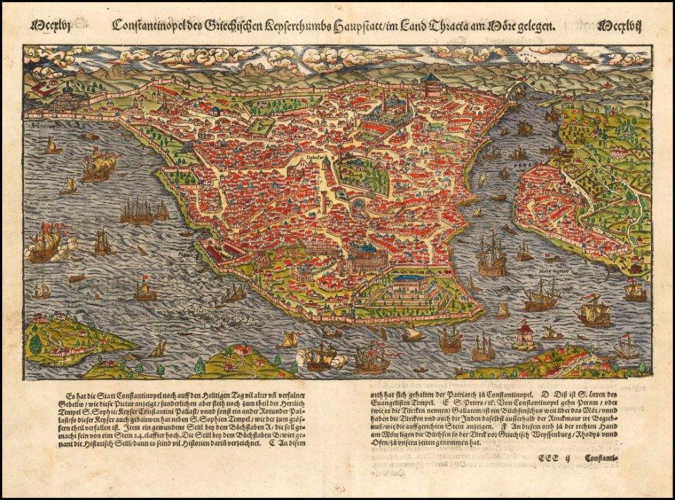
old maps of constantinople
maps by sebastian münster
illustration
maps
maps in the library of congress
1900 maps
maps in the library of congress
1900 maps
old maps of the dutch east india company
1787
english-language maps
missouri
maps
art
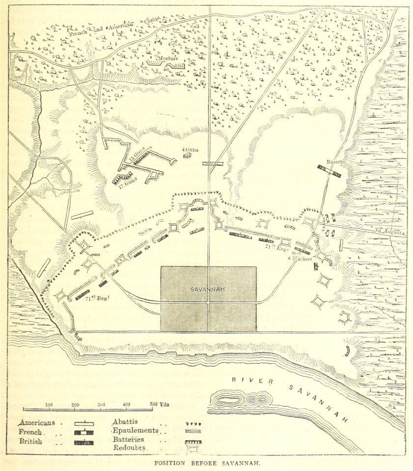
old maps of the american revolution
siege of savannah (1779)
illustration
maps
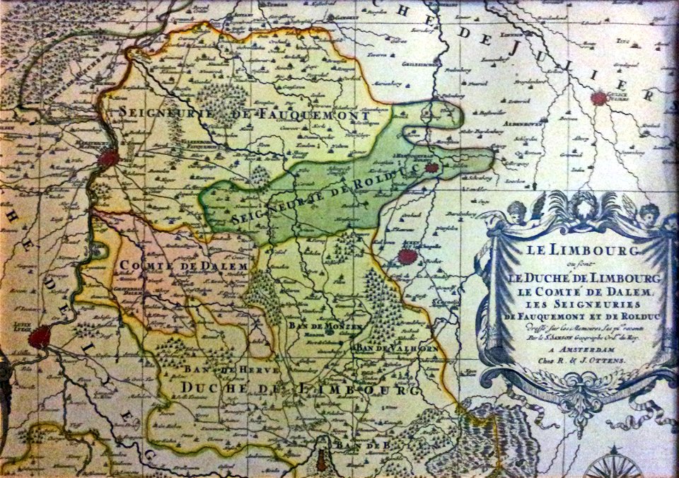
netherlands
limburg
dendermonde
lillo
maps
sea
maps in the library of congress
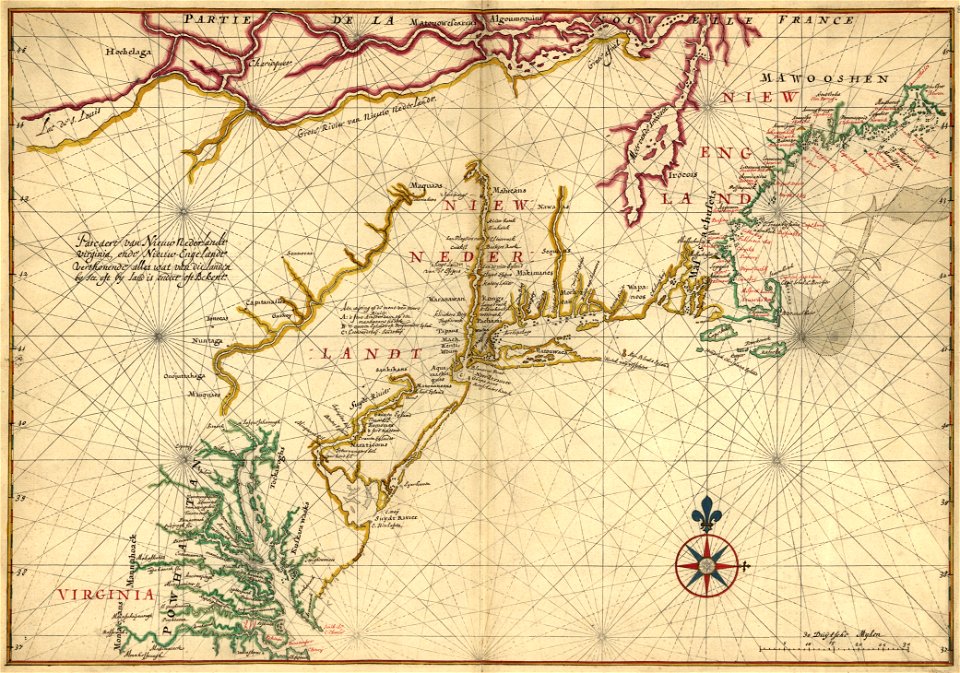
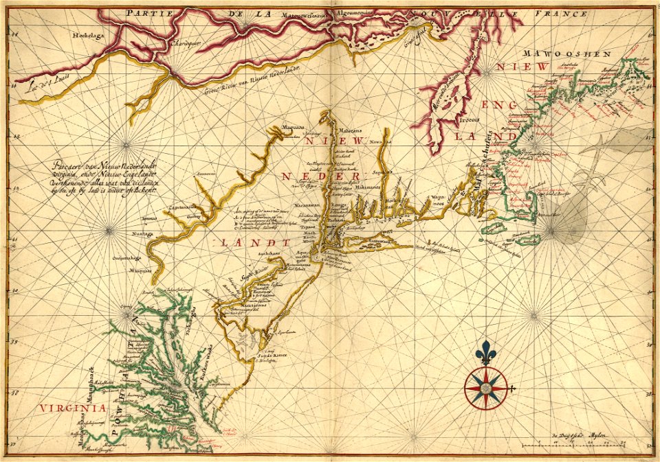
old maps of new england
maps in the library of congress
old maps of new england
maps with cartouches
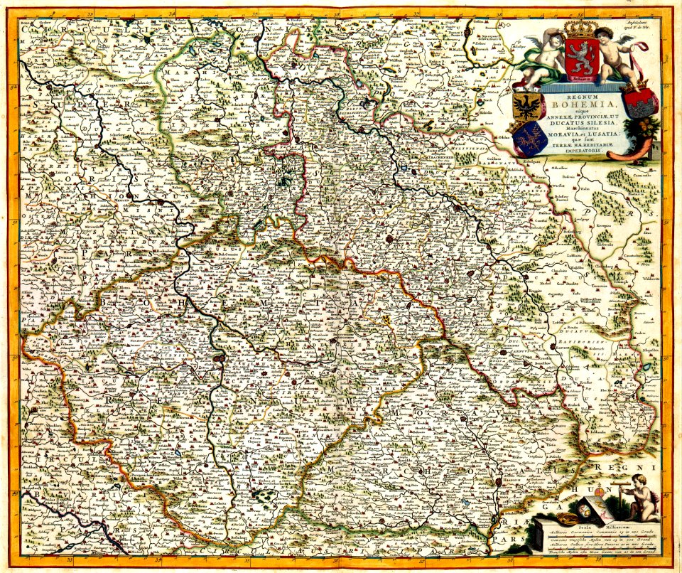
old maps of bohemia
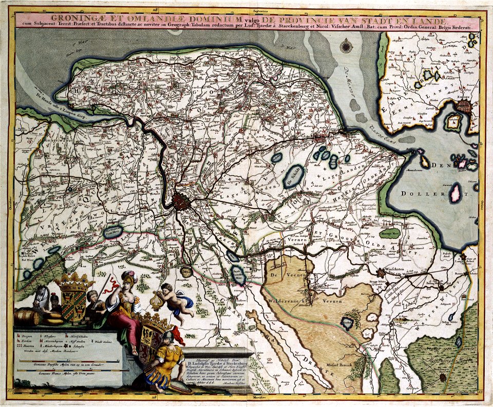
old maps of groningen (province)
maps with cartouches
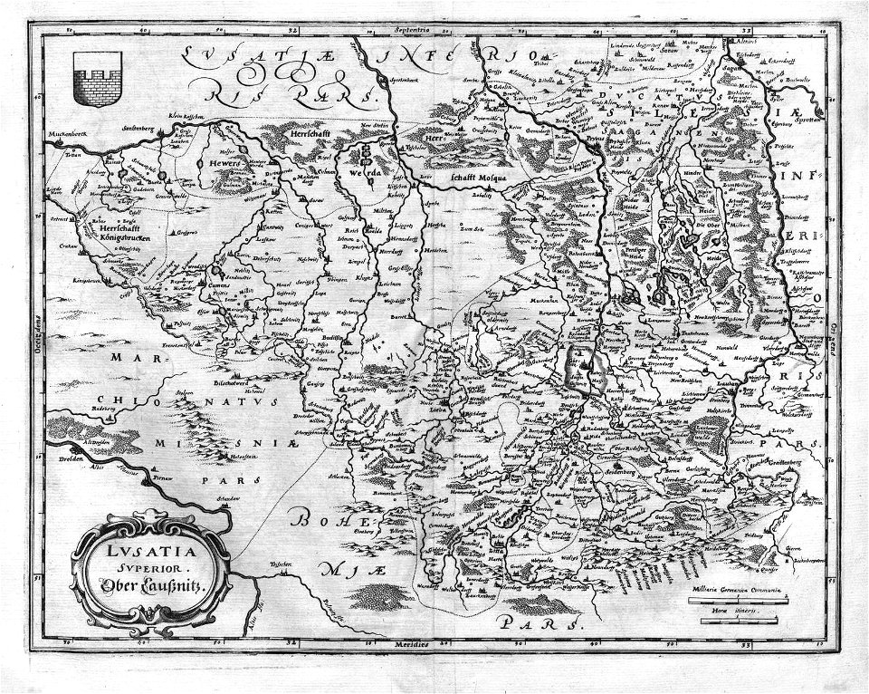
old maps of saxony
1760 maps
old maps of north america from the norman b. leventhal map center
1755 maps of the united states
charles françois delamarche
old maps of the holy land
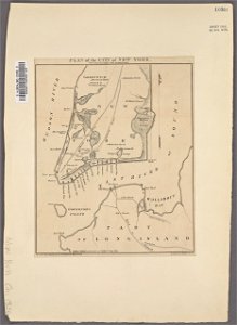
manual of the corporation of the city of new york (1856)
new york city
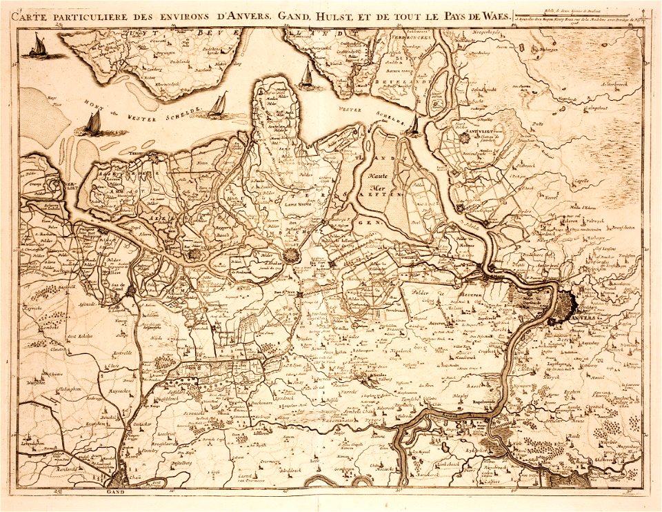
old maps of zeeland
western scheldt
old constellation maps
maps by samuel dunn
ancient kangleipak
high renaissance
history of antwerp
renaissance
ancient kangleipak
high renaissance
maps by nicolaes visscher i
old maps of assyria
maps by alain manesson-mallet
description de l'universe
eran laor cartographic collection
edward weller
eran laor cartographic collection
maps by tomas lopez
eran laor cartographic collection
edward weller
jean étienne guettard
philippe buache
maps by abraham ortelius
maps by jodocus hondius
nürnberger reichswald
1559 maps of germany
old maps of the stations of the exodus
1650s maps of palestine
old maps of french guiana
old maps of cayenne
maps of the dutch east india company - australia
old maps of the dutch east india company
cornell: persuasive cartography: the pj mode collection
1665 maps
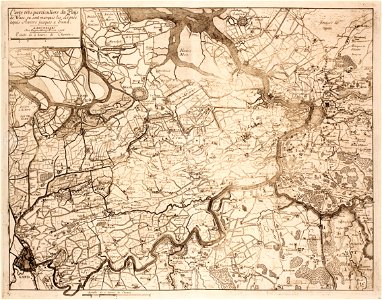
upper guelders
atlas van loon
maps by thomas kitchin
andrew dury
details from maps by gerardus mercator
maps by hendrik hondius the younger
1740s maps of the netherlands
maps of borculo
jean étienne guettard
philippe buache
old maps of french guiana
1630s maps of brazil
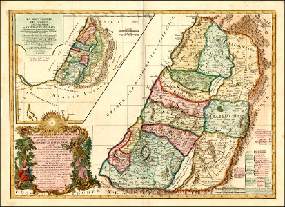
maps of the history of palestine
1880s maps of palestine
maps in the british museum
prints by mario cartaro
plans of central cemetery in sanok
maps of sanok
en rejse i rødkarenernes land
old maps of myanmar
old maps of myanmar
red karen
maps indicating exploration
royal geographical society
peeps at many lands: china
old maps of china
peeps at many lands: japan
old maps of japan
old maps of bredevoort
maps by isaak tirion
maps by nicolaes visscher i
old maps of canaan
old maps of the united states
copper engravings
old maps of the bering strait
18th-century maps of siberia
coats of arms on maps
house of nassau
maps in the library of congress
1720s maps of palestine
media from the national library of finland
classicism
manual of the corporation of the city of new york (1856)
george hayward
old maps of the tribes of israel
guillaume sanson
r. hausermann, carte de la terre sainte, 1914
eran laor cartographic collection
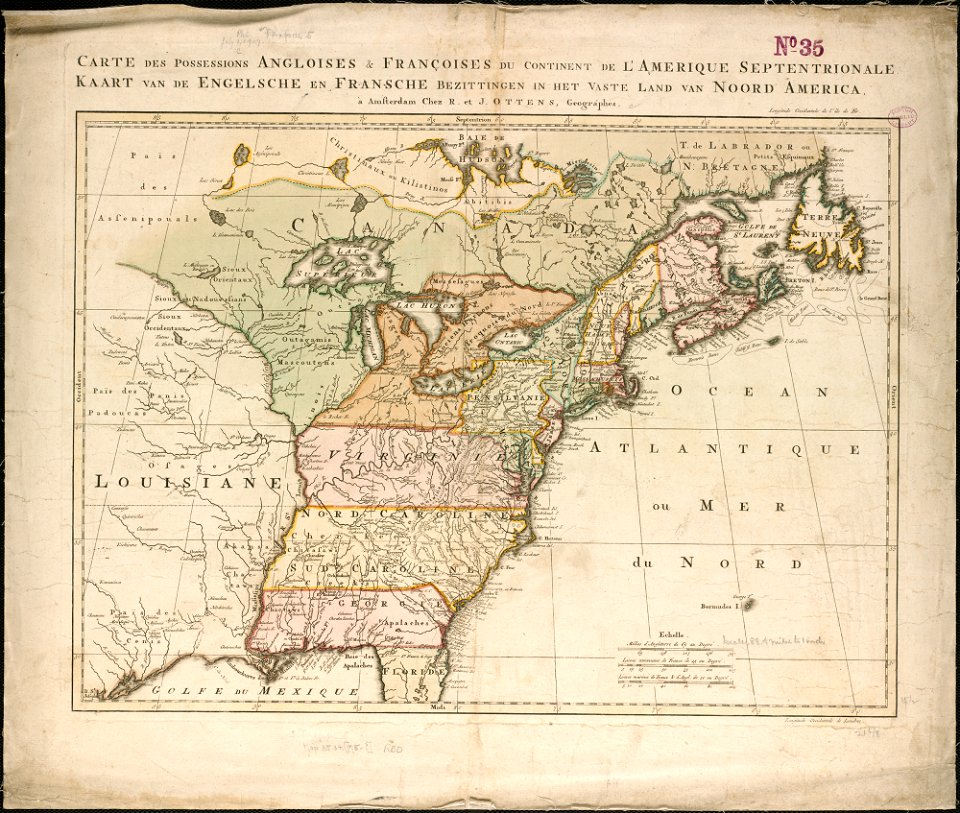
18th-century maps of north america
1708 maps of north america
old maps of bouvet island
bouvet island
1870s maps of egypt
1879 maps of africa
old submaps of paris 5e arrondissement
turgot map of paris – derivative files
chicago and the midwest, newberry library
old maps of the mississippi river
old maps of the sinai peninsula
1870s maps of palestine
old maps of the holy land
joan blaeu
hamburgische elbkarte von melchior lorichs
parts of old maps of hamburg
1770s maps of alaska
robert de vaugondy
atlas of the great elector
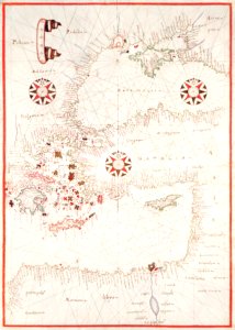
archipelagus orientalis
peru. incidents of travel and exploration in the land of the incas
yucay
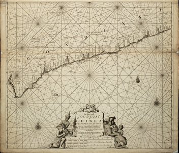
old maps of the dutch gold coast
engravings by jan luyken
victor levasseur - maps of france
old maps of meurthe (department)
old maps of charente-maritime
maps by nicolas sanson
maps of spain by tomas lopez
old maps of guadeloupe
hamburgische elbkarte von melchior lorichs
parts of old maps of hamburg
engravings of topographia superioris saxoniae, thüringiae, misniae et lusatiae (merian)
baroque
1 - 100 of 212
Next page
/ 3